Tracking Double Trouble in the Tropics
Two hurricanes in the Gulf of Mexico would be an unprecedented event. But then again, this is 2020. Should we expect anything less?
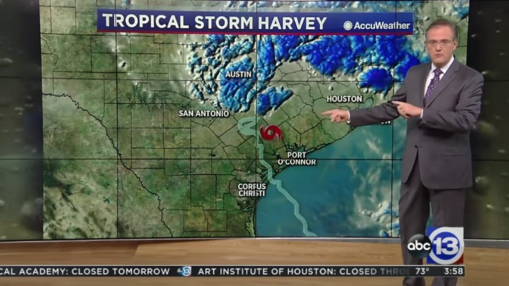
Based on the forecast paths drawn by the National Hurricane Center, two tropical cyclones could make landfall within days of each other, just a few hundred miles apart. This unique situation creates challenges for broadcast meteorologists covering the storms and forecasting potential impacts.
Here are some pro tips to help local TV station weather teams communicate effectively before, during and after landfall(s).
Focus on the essential details
Most people have heard about the storms by now. What information do consumers need and want to know right now? What questions might they have about the hurricanes, and what answers can you provide? Clear the clutter from your weathercasts and focus on serving viewers information that will help them endure the next few days.
READ MORE: WHY SOCIAL MEDIA SHOULDN’T BE THE PRIMARY WAY YOU COMMUNICATE
Avoid the data dump
Tropical weather systems involve a lot of data. Graphics computers allow broadcast meteorologists to show it all. But you don’t need to! After the fifth or tenth map, all data looks the same. Now, multiply that by two! Be selective and only share the data that helps tell the weather story
Keep it local
As the storms approach the coast, worry less about what’s happening outside of your local community. Unless you work for The Weather Channel, your coverage should concentrate on the threats and impacts that could affect your viewers. Be specific, naming communities and neighborhoods, if possible.
State the facts
While covering hurricanes at KTRK in Houston, one of my favorite graphics was titled, “What We Know.” It was a simple text graphic that listed 3 or 4 things we knew with certainty about the hurricane. Developing that list was sometimes a challenge because there is always so much uncertainty regarding the track, intensity, and local effects. Which brings us to the final tip…
Highlight the uncertainty
Be honest with your viewers about the things that could change. Encourage them to check the weather regularly until the threat has passed. Remind them where to find information between newscasts on the station-branded website and apps.
One more thing. Take care of yourself and your family. Don’t wear yourself out before the storms make landfall. Take breaks when you can so you remain alert and focused on-air. Ensure your family is safe and prepared ahead of time, and you won’t worry about them later.
The next several days could be exhausting for many broadcast meteorologists working along the Gulf coast from Florida to Texas. But these are the moments that can make or break careers. Your pacing, inflection and tone of voice will communicate as much information as the maps behind you. Don’t hype the situation. Be the calm in the storm(s).
Tim Heller is an AMS Certified Broadcast Meteorologist, Talent Coach, and Weather Content Consultant. He helps local TV stations and broadcast meteorologists communicate more effectively on-air, online, and on social media.
Read more News & Insights from HellerWeather