AI and the 2025 Hurricane Season Forecasts

The 2025 Atlantic hurricane season was remarkable for many reasons. Three Category 5 hurricanes developed, the second highest total on record. Tropical Storm Chantal hit South Carolina in July, but no hurricanes made landfall in the United States. That hasn’t happened since 2015.
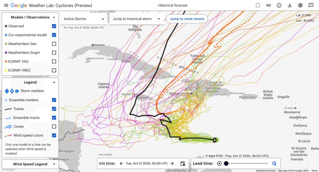
The most groundbreaking news might just be the tools meteorologists used to track these storms. 2025 was a landmark year, officially introducing Artificial Intelligence into the National Hurricane Center’s (NHC) real-time forecasting toolkit.
A Milestone Year for AI
Meteorologists at NHC have historically depended on statistical and dynamical models to predict a storm’s track and intensity. While the models and the forecasters’ ability to interpret them have consistently improved over time, there’s always room for improvement.
Just as AI is being integrated into every other business and process, last year NHC incorporated Google DeepMind (GDMI) into the forecast process. And its performance was nothing short of remarkable across both the Atlantic and Eastern North Pacific basins.
Some highlights as noted in the season verification report:
- Atlantic Track Forecasts: GDMI slightly outperformed the NHC’s official forecasts at shorter lead times (12 to 72 hours) for track forecasting.
- Atlantic Intensity Forecasts: GDMI was also highlighted as having comparable skill to the official forecasts, making it the best model for intensity forecasting at several time periods.
- Eastern North Pacific Forecasts: GDMI performed considerably better than all of the other individual models and beat the official forecast and all of the consensus aids at 48-120 hours.
It’s worth noting that the NHC’s official human-issued forecasts were incredibly accurate in 2025 as well. In the eastern North Pacific, the NHC set records for accuracy at numerous lead times (24-120 h). The official forecasts generally outperformed most dynamical and consensus models in the Atlantic.
READ MORE: AI CONTENT + HUMAN CONTEXT: THE WINNING COMBINATION
Growing Pains and Operational Hurdles
Introducing cutting-edge technology into a high-stakes, real-time environment comes with its challenges. The AI models weren’t perfect, primarily because of logistical and developmental limitations rather than a lack of skill.
“Many of these systems remain under active development, and some were not consistently available on a timely basis for routine use by forecasters,” noted the report.
Additionally, GDMI was not available during the early part of the season, so the model comparisons do not include the first two storms of the season in the Atlantic and the first five storms in the eastern north Pacific. A more thorough comparison between traditional models and GDMI should be possible next year when it’s available for the entire season.
Looking Ahead
There’s no turning back now. NHC seems optimistic about the use of AI in hurricane forecasting. Meteorologists write, “AI models are expected to become increasingly reliable, efficient, and influential components of the hurricane forecasting process in the coming years.”
Thanks to the continued reduction in track errors, NHC is shrinking its famous forecast cone again in 2026. The circle radii defining the cones will be up to 8% smaller at most forecast times for both the Atlantic and eastern North Pacific storms.
However, one area that remains a challenge and where AI might be helpful is forecasting the intensity of tropical cyclones. That was especially challenging in 2025 because of the number of cyclones that rapidly intensified. There were 23 RI episodes in the Atlantic, accounting for about 10% of all forecasts.
As human expertise and artificial intelligence continue to merge, the future of hurricane forecasting is shaping up to be tighter, faster, and more accurate than ever before.
Tim Heller is an AMS Certified Broadcast Meteorologist, Talent Coach, and Weather Content Consultant. He helps local TV stations and broadcast meteorologists communicate more effectively and work more efficiently.
Read more News & Insights from HellerWeather